2011
SP2581 : Plank bridge over a ditch
taken 13 years ago, near to Four Oaks, Solihull, England
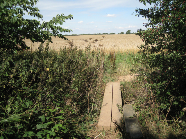
Plank bridge over a ditch
The ditch marks the parish boundary between Berkswell (behind the camera) and Meriden (ahead). A large wheatfield stretches away to the southeast side of Meriden.
 Map © Crown Copyright")
TIP: Click the map for more Large scale mapping
- Grid Square
- SP2581, 34 images (more nearby 🔍)
- Photographer
- Robin Stott (more nearby)
- Date Taken
- Friday, 19 August, 2011 (more nearby)
- Submitted
- Friday, 9 September, 2011
- Subject Location
-
OSGB36:
 SP 2512 8114 [10m precision]
WGS84: 52:25.6603N 1:37.9197W - Camera Location
-
OSGB36: SP 2512 8113
- View Direction
- NORTH (about 0 degrees)