2011
SX8377 : Dunley Lane
taken 13 years ago, near to Chudleigh Knighton, Devon, England
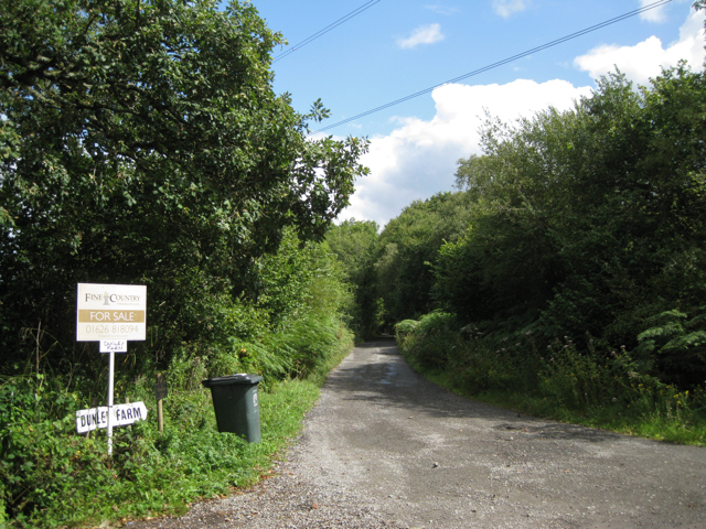
Dunley Lane
Leading to Dunley Farm and Woodlands.
 Map © Crown Copyright")
TIP: Click the map for more Large scale mapping
- Grid Square
- SX8377, 57 images (more nearby 🔍)
- Photographer
- Robin Stott (more nearby)
- Date Taken
- Wednesday, 24 August, 2011 (more nearby)
- Submitted
- Saturday, 10 September, 2011
- Subject Location
-
OSGB36:
 SX 8368 7792 [10m precision]
WGS84: 50:35.3633N 3:38.6755W - Camera Location
-
OSGB36: SX 8359 7788
- View Direction
- East-northeast (about 67 degrees)