2011
TQ7458 : Footpath, Allington Lock, Kent
taken 13 years ago, near to Sandling, Kent, England
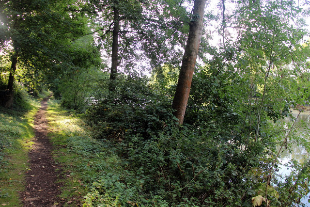
Footpath, Allington Lock, Kent
On the south side of the river to the west of the lock.
 Map © Crown Copyright")
TIP: Click the map for more Large scale mapping
- Grid Square
- TQ7458, 256 images (more nearby 🔍)
- Photographer
- Christine Matthews (more nearby)
- Date Taken
- Sunday, 4 September, 2011 (more nearby)
- Submitted
- Sunday, 11 September, 2011
- Subject Location
-
OSGB36:
 TQ 7460 5812 [10m precision]
WGS84: 51:17.7262N 0:30.1745E - Camera Location
-
OSGB36: TQ 7464 5812
- View Direction
- WEST (about 270 degrees)