2011
NJ0003 : Cairngorm Slopes
taken 13 years ago, near to Coire Raibeirt [other Features], Moray, Great Britain
Cairngorm Slopes
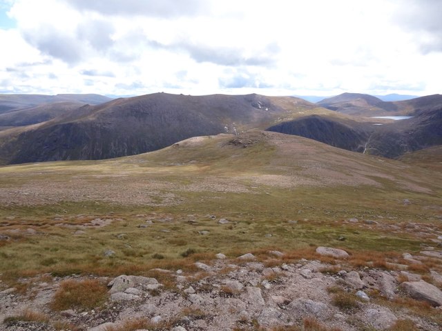
Heading southwest from Cairngorm into Coire Raibeirt. Beinn Mheadhoin is the prominent peak in the centre with Derry Cairngorm to its right. Also Loch Etchachan can clearly be seen - Britains highest Loch.
 Map © Crown Copyright")
TIP: Click the map for more Large scale mapping
- Grid Square
- NJ0003, 68 images (more nearby 🔍)
- Photographer
- Adam Ward (more nearby)
- Date Taken
- Sunday, 4 September, 2011 (more nearby)
- Submitted
- Monday, 12 September, 2011
- Subject Location
-
OSGB36:
 NJ 0051 0353 [10m precision]
WGS84: 57:6.7151N 3:38.6619W - Camera Location
-
OSGB36: NJ 0051 0372
- View Direction
- SOUTH (about 180 degrees)