2011
NY4055 : Benchmark on wall of #26 Lismore Street
taken 13 years ago, near to Carlisle, Cumbria, England
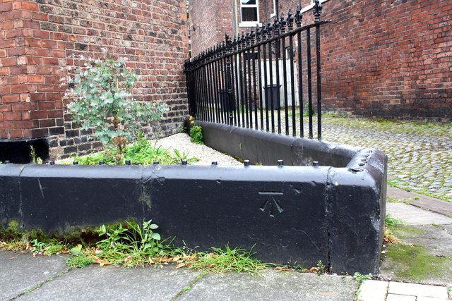
Benchmark on wall of #26 Lismore Street
Ordnance Survey cut mark benchmark described on the Bench Mark Database at Link
 Map © Crown Copyright")
TIP: Click the map for more Large scale mapping
- Grid Square
- NY4055, 1347 images (more nearby 🔍)
- Photographer
- Roger Templeman (more nearby)
- Date Taken
- Saturday, 18 June, 2011 (more nearby)
- Submitted
- Monday, 12 September, 2011
- Subject Location
-
OSGB36:
 NY 4086 5577 [10m precision]
WGS84: 54:53.5890N 2:55.4150W - Camera Location
-
OSGB36: NY 4086 5577
- View Direction
- Southwest (about 225 degrees)