2011
NY4054 : Benchmark hiding behind shrub on #57 Currock Road
taken 13 years ago, near to Carlisle, Cumbria, England
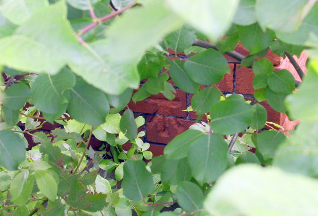
Benchmark hiding behind shrub on #57 Currock Road
Ordnance Survey cut mark benchmark described on the Bench Mark Database at Link
 Map © Crown Copyright")
TIP: Click the map for more Large scale mapping
- Grid Square
- NY4054, 111 images (more nearby 🔍)
- Photographer
- Roger Templeman (more nearby)
- Date Taken
- Sunday, 26 June, 2011 (more nearby)
- Submitted
- Monday, 12 September, 2011
- Subject Location
-
OSGB36:
 NY 4032 5452 [10m precision]
WGS84: 54:52.9113N 2:55.9045W - Camera Location
-
OSGB36: NY 4032 5452
- View Direction
- East-southeast (about 112 degrees)