2011
TQ5282 : River Ingrebourne
taken 13 years ago, near to Rainham, Havering, England
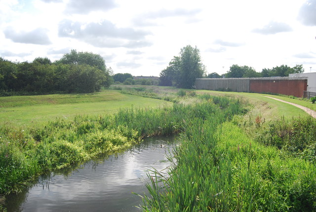
River Ingrebourne
The River Ingrebourne flows north to south from its source near Brentwood to its mouth in the Rainham Marshes, where it joins the River Thames. It is 27 miles long.
Wikipedia: Link
See other images of River Ingrebourne
Wikipedia: Link
See other images of River Ingrebourne
 Map © Crown Copyright")
TIP: Click the map for more Large scale mapping
- Grid Square
- TQ5282, 173 images (more nearby 🔍)
- Photographer
- N Chadwick (more nearby)
- Date Taken
- Saturday, 18 June, 2011 (more nearby)
- Submitted
- Monday, 12 September, 2011
- Subject Location
-
OSGB36:
 TQ 5205 8248 [10m precision]
WGS84: 51:31.2466N 0:11.4108E - Camera Location
-
OSGB36: TQ 5203 8248
- View Direction
- EAST (about 90 degrees)