2011
TQ5284 : Grassland, Hornchurch Country Park
taken 13 years ago, near to Elm Park, Havering, England
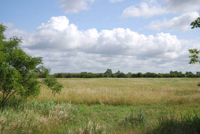
Grassland, Hornchurch Country Park
Hornchurch Country Park is on the former site of Hornchurch Airfield, in the London Borough of Havering.
The River Ingrebourne passes through the park and if forms part of Thames Chase Community Forest. The London Outer Orbital Path runs through the park. The most popular part of the park is to the west of the Ingrebourne, where the ground is flat and paved; this area is most commonly frequented by dog walkers. The woodland to the east of the river is somewhat inaccessible. Some southern parts of the park that reach into Rainham have been used as landfill.
There are a number of pillboxes and other items dating from the Second World War to be found in the park
See other images of Hornchurch Country Park
 Map © Crown Copyright")
TIP: Click the map for more Large scale mapping
- Grid Square
- TQ5284, 32 images (more nearby 🔍)
- Photographer
- N Chadwick (more nearby)
- Date Taken
- Saturday, 18 June, 2011 (more nearby)
- Submitted
- Tuesday, 13 September, 2011
- Subject Location
-
OSGB36:
 TQ 5284 8407 [10m precision]
WGS84: 51:32.0910N 0:12.1348E - Camera Location
-
OSGB36: TQ 5280 8400
- View Direction
- North-northeast (about 22 degrees)