2011
TQ1873 : The Thames Path
taken 13 years ago, near to Richmond, Richmond Upon Thames, England
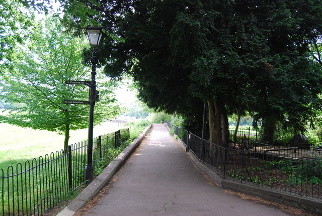
The Thames Path
This National Trail is 184 miles (294 km) long, following the River Thames from its source in the Cotswolds almost to the sea, finishing at the Thames Barrier in Greenwich.
The trail keeps to the banks of the river most of the route.
Website: Link
See other images of Thames Path
The trail keeps to the banks of the river most of the route.
Website: Link
See other images of Thames Path
 Map © Crown Copyright")
TIP: Click the map for more Large scale mapping
- Grid Square
- TQ1873, 229 images (more nearby 🔍)
- Photographer
- N Chadwick (more nearby)
- Date Taken
- Saturday, 7 May, 2011 (more nearby)
- Submitted
- Wednesday, 14 September, 2011
- Subject Location
-
OSGB36:
 TQ 1805 7387 [10m precision]
WGS84: 51:27.0910N 0:18.1494W - Camera Location
-
OSGB36: TQ 1807 7387
- View Direction
- West-southwest (about 247 degrees)