2011
TQ5485 : LOOP in the Ingrebourne Valley
taken 13 years ago, near to Hornchurch, Havering, England
This is 1 of 3 images, with title LOOP in the Ingrebourne Valley in this square
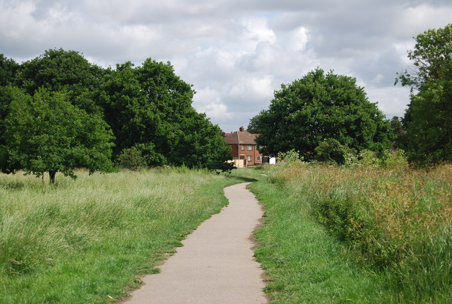
LOOP in the Ingrebourne Valley
Ingrebourne Valley Local Nature Reserve :: TQ5384
Ingrebourne Valley Local Nature Reserve is 240ha of river valley by the River Ingrebourne. Much of the area is composed of flooded gravel pits.
Website: Link
London Outer Orbital Path (LOOP)
Starting at the Thames at Erith and finishing on the opposite north bank at Coldharbour, the Loop (London Outer Orbital Path) is 150 miles long, passing through numerous woods, commons and parks and on waterside paths alongside the Grand Union Canal and London rivers such as the Colne, Crane, Cray, Darent and Ingrebourne.
 Map © Crown Copyright")
TIP: Click the map for more Large scale mapping
- Grid Square
- TQ5485, 78 images (more nearby 🔍)
- Photographer
- N Chadwick (more nearby)
- Date Taken
- Saturday, 18 June, 2011 (more nearby)
- Submitted
- Friday, 16 September, 2011
- Subject Location
-
OSGB36:
 TQ 5427 8546 [10m precision]
WGS84: 51:32.8170N 0:13.4074E - Camera Location
-
OSGB36: TQ 5426 8542
- View Direction
- North-northeast (about 22 degrees)