2010
TQ0142 : Greensand Way north of Lea farm
taken 14 years ago, near to Thorncombe Street, Surrey, England
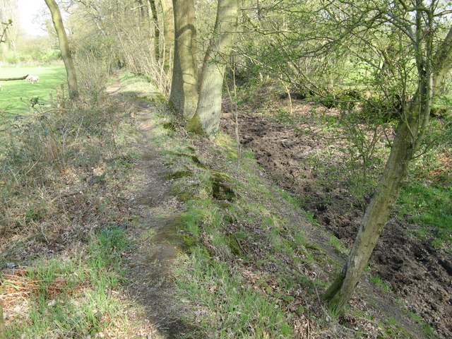
Greensand Way north of Lea farm
Greensand Way north of Lea farm. The path is so muddy that there is a new path on the bank next to it.
The Greensand Way
The Greensand Way is a long distance walk of 108 miles (174 km) in Southeast England, from Haslemere in Surrey to Hamstreet in Kent. It follows the Greensand Ridge along the Surrey Hills and Chart Hills. The route is mostly rural, passing through woods and alongside fruit orchards and hop farms in Kent. and links with the Stour Valley Walk near Pluckley in Kent.
See Linkfor more details. See also Link
 Map © Crown Copyright")
TIP: Click the map for more Large scale mapping
- Grid Square
- TQ0142, 38 images (more nearby 🔍)
- Photographer
- Frazer Crump (more nearby)
- Date Taken
- Sunday, 18 April, 2010 (more nearby)
- Submitted
- Sunday, 18 September, 2011
- Subject Location
-
OSGB36:
 TQ 0129 4230 [10m precision]
WGS84: 51:10.2589N 0:33.1533W - Camera Location
-
OSGB36: TQ 01261 42313
- View Direction
- East-southeast (about 112 degrees)