2011
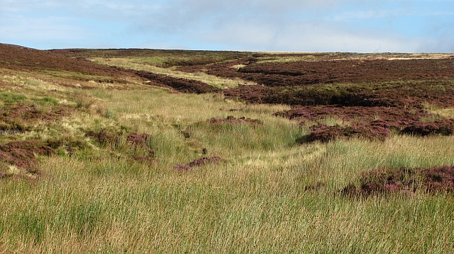
NT5659 : Whalplaw Burn
taken 13 years ago, near to Willie's Law [hill or Mountain], Scottish Borders, Great Britain
This is 1 of 3 images, with title Whalplaw Burn in this square
 Map © Crown Copyright")
TIP: Click the map for more Large scale mapping
- Grid Square
- NT5659, 15 images (more nearby 🔍)
- Photographer
- Richard Webb (more nearby)
- Date Taken
- Monday, 19 September, 2011 (more nearby)
- Submitted
- Monday, 19 September, 2011
- Subject Location
-
OSGB36:
 NT 5615 5921 [10m precision]
WGS84: 55:49.4480N 2:42.0881W - Camera Location
-
OSGB36: NT 5613 5903
- View Direction
- NORTH (about 0 degrees)