2011
TQ1956 : Pebble Lane Bridge, M25
taken 13 years ago, 3 km from Headley, Surrey, England
This is 1 of 4 images, with title Pebble Lane Bridge, M25 in this square
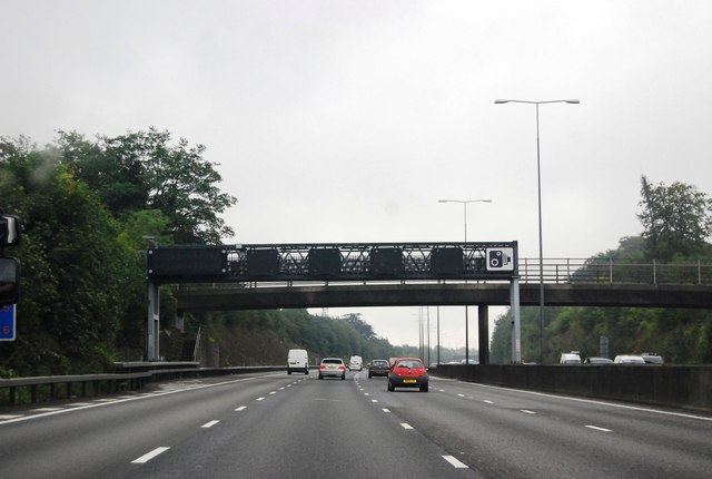
Pebble Lane Bridge, M25
The M25 is a 117 mile orbital motorway that encircles London. It was constructed between 1975 and 1986.
The motorway is not a continuous loop as a section to the East of London at The Dartford Crossing is an A-Road.
Wikipedia; Link
See other images of M25 Motorway
The motorway is not a continuous loop as a section to the East of London at The Dartford Crossing is an A-Road.
Wikipedia; Link
See other images of M25 Motorway
 Map © Crown Copyright")
TIP: Click the map for more Large scale mapping
- Grid Square
- TQ1956, 39 images (more nearby 🔍)
- Photographer
- N Chadwick (more nearby)
- Date Taken
- Wednesday, 24 August, 2011 (more nearby)
- Submitted
- Tuesday, 20 September, 2011
- Subject Location
-
OSGB36:
 TQ 1918 5622 [10m precision]
WGS84: 51:17.5589N 0:17.5289W - Camera Location
-
OSGB36: TQ 1914 5622
- View Direction
- EAST (about 90 degrees)