2011
SK1468 : Lane east of Flagg
taken 13 years ago, near to Flagg, Derbyshire, England
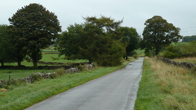
Lane east of Flagg
The route to Monyash across an upland plateau. the lane here is lined with a few trees.
 Map © Crown Copyright")
TIP: Click the map for more Large scale mapping
- Grid Square
- SK1468, 24 images (more nearby 🔍)
- Photographer
- Andrew Hill (more nearby)
- Date Taken
- Tuesday, 20 September, 2011 (more nearby)
- Submitted
- Friday, 23 September, 2011
- Subject Location
-
OSGB36:
 SK 1438 6834 [10m precision]
WGS84: 53:12.7158N 1:47.1680W - Camera Location
-
OSGB36: SK 1433 6836
- View Direction
- East-southeast (about 112 degrees)