2011
ST7469 : Valley pasture south of Tadwick
taken 13 years ago, near to Langridge, Bath And North East Somerset, England
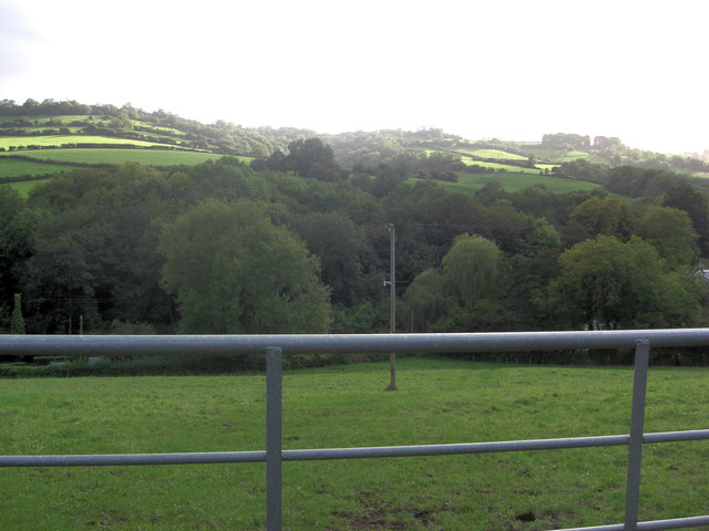
Valley pasture south of Tadwick
 Map © Crown Copyright")
TIP: Click the map for more Large scale mapping
- Grid Square
- ST7469, 54 images (more nearby 🔍)
- Photographer
- Stuart Logan (more nearby)
- Date Taken
- Wednesday, 21 September, 2011 (more nearby)
- Submitted
- Sunday, 25 September, 2011
- Subject Location
-
OSGB36:
 ST 7450 6973 [10m precision]
WGS84: 51:25.5599N 2:22.0892W - Camera Location
-
OSGB36: ST 7452 6974
- View Direction
- West-southwest (about 247 degrees)