2011
SE4910 : Moorhouse, Moorhouse Lane
taken 13 years ago, near to Hampole, Doncaster, England
This is 1 of 2 images, with title starting with Moorhouse in this square
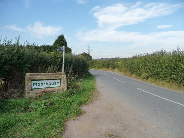
Moorhouse, Moorhouse Lane
Doncaster Council uses green and white village name signs.
 Map © Crown Copyright")
TIP: Click the map for more Large scale mapping
- Grid Square
- SE4910, 24 images (more nearby 🔍)
- Photographer
- Christine Johnstone (more nearby)
- Date Taken
- Saturday, 1 October, 2011 (more nearby)
- Submitted
- Saturday, 1 October, 2011
- Subject Location
-
OSGB36:
 SE 4903 1031 [10m precision]
WGS84: 53:35.2254N 1:15.6489W - Camera Location
-
OSGB36: SE 4903 1031
- View Direction
- Northwest (about 315 degrees)