2011
SE0201 : Chew Road, Dish Stone Brow
taken 13 years ago, 4 km E of Buckton Vale, Tameside, England
This is 1 of 13 images, with title starting with Chew in this square
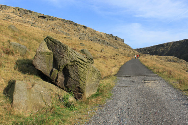
Chew Road, Dish Stone Brow
Now having the chief function of providing access to Chew Reservoir, this road was formerly a trackway linking Saddleworth with Longdendale.
 Map © Crown Copyright")
TIP: Click the map for more Large scale mapping
- Grid Square
- SE0201, 28 images (more nearby 🔍)
- Photographer
- Michael Fox (more nearby)
- Date Taken
- Saturday, 1 October, 2011 (more nearby)
- Submitted
- Monday, 3 October, 2011
- Subject Location
-
OSGB36:
 SE 0288 0183 [10m precision]
WGS84: 53:30.7886N 1:57.4824W - Camera Location
-
OSGB36: SE 0266 0195
- View Direction
- East-southeast (about 112 degrees)