2011
NR3757 : Ruined Croft buildings along Kilennan River
taken 13 years ago, near to Cluanach, Islay, Argyll And Bute, Scotland
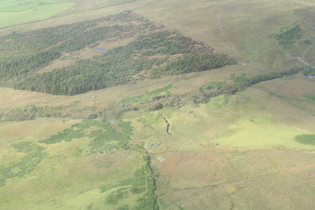
Ruined Croft buildings along Kilennan River
Passing by I spotted these ruined buildings alongside the Kilennan River just to the East of Bowmore. It did take a while to track their location, but confirmed by a cross check of the OS maps and Google Earth and here you go.
 Map © Crown Copyright")
TIP: Click the map for more Large scale mapping
- Grid Square
- NR3757, 4 images (more nearby 🔍)
- Photographer
- Phillip Gamble (more nearby)
- Date Taken
- Sunday, 14 August, 2011 (more nearby)
- Submitted
- Friday, 7 October, 2011
- Subject Location
-
OSGB36:
 NR 3791 5775 [10m precision]
WGS84: 55:44.5186N 6:10.6414W - Camera Location
-
OSGB36: NR 3797 5737
- View Direction
- NORTH (about 0 degrees)