2011
TL6459 : Dane Bottom
taken 13 years ago, near to Woodditton, Cambridgeshire, England
This is 1 of 2 images, with title Dane Bottom in this square
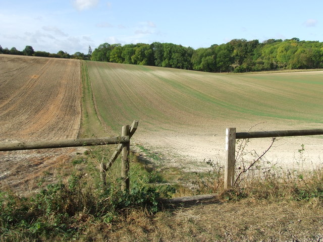
Dane Bottom
View across Dane Bottom near to Woodditton, Cambridgeshire.
 Map © Crown Copyright")
TIP: Click the map for more Large scale mapping
- Grid Square
- TL6459, 52 images (more nearby 🔍)
- Photographer
- Keith Evans (more nearby)
- Date Taken
- Thursday, 6 October, 2011 (more nearby)
- Submitted
- Friday, 7 October, 2011
- Subject Location
-
OSGB36:
 TL 6489 5904 [10m precision]
WGS84: 52:12.2952N 0:24.6957E - Camera Location
-
OSGB36: TL 6511 5911
- View Direction
- West-southwest (about 247 degrees)