2011
SJ6796 : The Glazebrook Trail near Glazebury
taken 13 years ago, near to Glazebury, Warrington, England
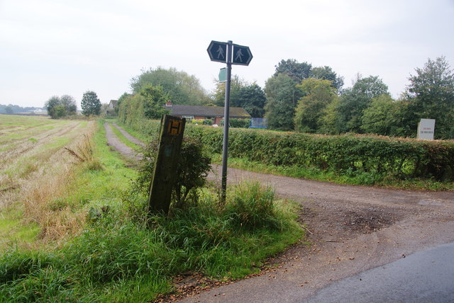
The Glazebrook Trail near Glazebury
Here it approaches the site of Moss House Farm.
 Map © Crown Copyright")
TIP: Click the map for more Large scale mapping
- Grid Square
- SJ6796, 41 images (more nearby 🔍)
- Photographer
- Bill Boaden (more nearby)
- Date Taken
- Sunday, 2 October, 2011 (more nearby)
- Submitted
- Saturday, 8 October, 2011
- Subject Location
-
OSGB36:
 SJ 6781 9604 [10m precision]
WGS84: 53:27.6070N 2:29.1769W - Camera Location
-
OSGB36: SJ 6781 9607
- View Direction
- SOUTH (about 180 degrees)