2011
NN9851 : Arable land, Westhaugh of Tulliemet
taken 13 years ago, near to Balmacneil, Perth And Kinross, Scotland
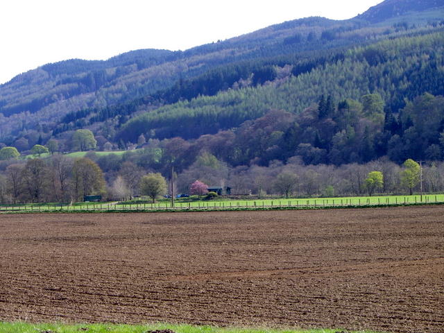
Arable land, Westhaugh of Tulliemet
Arable fields and the railway line separate the River Tay from the A9.
 Map © Crown Copyright")
TIP: Click the map for more Large scale mapping
- Grid Square
- NN9851, 25 images (more nearby 🔍)
- Photographer
- Maigheach-gheal (more nearby)
- Date Taken
- Monday, 11 April, 2011 (more nearby)
- Submitted
- Monday, 10 October, 2011
- Subject Location
-
OSGB36:
 NN 9867 5126 [10m precision]
WGS84: 56:38.5292N 3:39.2321W - Camera Location
-
OSGB36: NN 9871 5131
- View Direction
- South-southwest (about 202 degrees)