2011
H7205 : The upper end of Coothill Road, Shercock
taken 13 years ago, near to Shercock, Co Cavan, Ireland
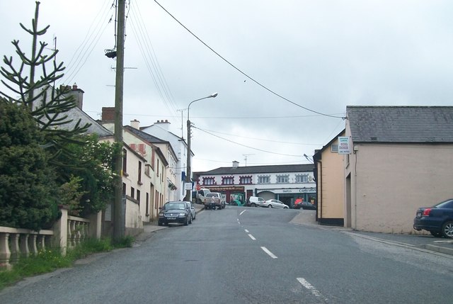
The upper end of Coothill Road, Shercock
Here, Coothill Road climbs to the T-junction with Main Street.
Loading map... (JavaScript required)
- Grid Square
- H7205, 27 images (more nearby 🔍)
- Photographer
- Eric Jones (more nearby)
- Date Taken
- Saturday, 25 June, 2011 (more nearby)
- Submitted
- Wednesday, 12 October, 2011
- Subject Location
-
Irish:
 H 722 057 [100m precision]
WGS84: 53:59.7412N 6:53.9458W - Camera Location
-
Irish: H 722 057
- View Direction
- South-southwest (about 202 degrees)