2006
SE5171 : Which Way Now?
taken 18 years ago, near to Easingwold, North Yorkshire, England
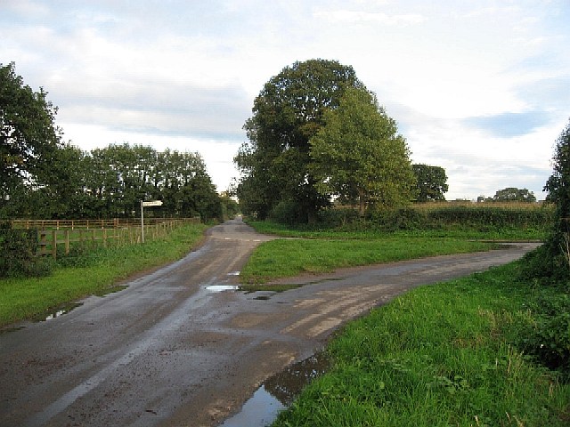
Which Way Now?
Easingwold to the right, North Moor Road straight on, at the fork near Sunnyside.
 Map © Crown Copyright")
TIP: Click the map for more Large scale mapping
- Grid Square
- SE5171, 17 images (more nearby 🔍)
- Photographer
- Roger Gilbertson (more nearby)
- Date Taken
- Friday, 20 October, 2006 (more nearby)
- Submitted
- Sunday, 22 October, 2006
- Subject Location
-
OSGB36:
 SE 51726 71246 [1m precision]
WGS84: 54:8.0679N 1:12.5907W - View Direction
- Northeast (about 45 degrees)