2011
TQ2843 : Regent House
taken 13 years ago, near to Horley, Surrey, England
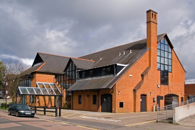
Regent House
A community centre in Albert Road run as a partnership involving volunteers and Reigate and Banstead Borough Council.
 Map © Crown Copyright")
TIP: Click the map for more Large scale mapping
- Grid Square
- TQ2843, 131 images (more nearby 🔍)
- Photographer
- Ian Capper (more nearby)
- Date Taken
- Sunday, 18 September, 2011 (more nearby)
- Submitted
- Sunday, 16 October, 2011
- Subject Location
-
OSGB36:
 TQ 284 431 [100m precision]
WGS84: 51:10.3918N 0:9.8286W - Camera Location
-
OSGB36: TQ 284 431
- View Direction
- North-northeast (about 22 degrees)