2006
NT7913 : A view to the Eastern Cheviots
taken 18 years ago, 4 km NE of Nether Hindhope, Scottish Borders, Scotland
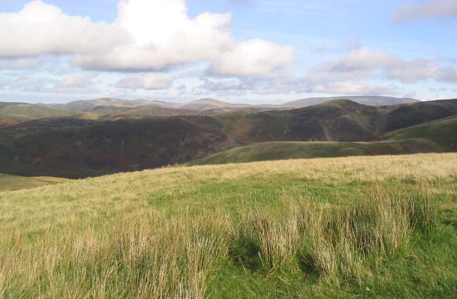
A view to the Eastern Cheviots
The hill in the middle background is The Schil (601m) and to the right is The Cheviot (815m).
 Map © Crown Copyright")
TIP: Click the map for more Large scale mapping
- Grid Square
- NT7913, 15 images (more nearby 🔍)
- Photographer
- Walter Baxter (more nearby)
- Date Taken
- Sunday, 22 October, 2006 (more nearby)
- Submitted
- Sunday, 22 October, 2006
- Subject Location
-
OSGB36:
 NT 7904 1308 [10m precision]
WGS84: 55:24.6716N 2:19.9559W - View Direction
- Northeast (about 45 degrees)