2011
TQ3770 : Green Chain Walk on Brackley Road
taken 13 years ago, near to Beckenham, Bromley, England
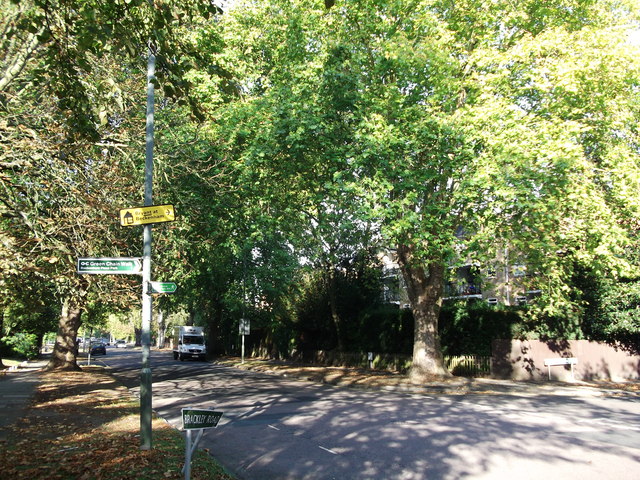
Green Chain Walk on Brackley Road
The long distance path leads straight on towards Copers Cope Road, or right along Worsley Bridge road to Stumps Hill.
Green Chain Walk
A network of walks from three points on the River Thames, including the Woolwich Flood Barrier, to Crystal Palace Park, linking together the open spaces of SE London.
Website: Link
See also Link
 Map © Crown Copyright")
TIP: Click the map for more Large scale mapping
- Grid Square
- TQ3770, 140 images (more nearby 🔍)
- Photographer
- David Anstiss (more nearby)
- Date Taken
- Sunday, 16 October, 2011 (more nearby)
- Submitted
- Monday, 17 October, 2011
- Subject Location
-
OSGB36:
 TQ 3734 7034 [10m precision]
WGS84: 51:24.9270N 0:1.5848W - Camera Location
-
OSGB36: TQ 3736 7033
- View Direction
- West-northwest (about 292 degrees)