2006
SU2473 : Farmland, Stock Close
taken 18 years ago, 3 km from Axford, Wiltshire, England
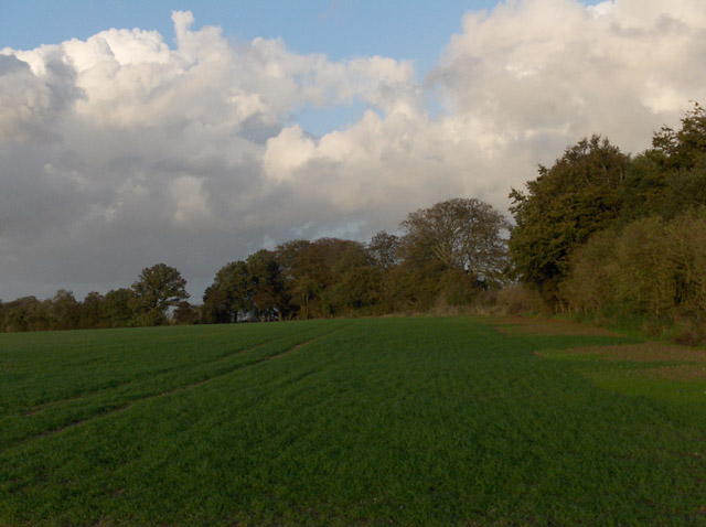
Farmland, Stock Close
The trees line the byway leading to Ewin's Hill.
 Map © Crown Copyright")
TIP: Click the map for more Large scale mapping
- Grid Square
- SU2473, 14 images (more nearby 🔍)
- Photographer
- Andrew Smith (more nearby)
- Date Taken
- Saturday, 21 October, 2006 (more nearby)
- Submitted
- Monday, 23 October, 2006
- Subject Location
-
OSGB36:
 SU 240 733 [100m precision]
WGS84: 51:27.4904N 1:39.3575W - View Direction
- Northeast (about 45 degrees)