2011
SK0705 : A461 Bridge, M6 (Toll)
taken 13 years ago, near to Stonnall, Staffordshire, England
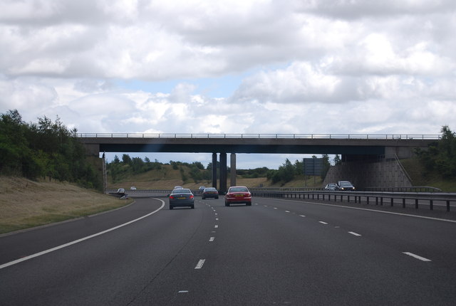
A461 Bridge, M6 (Toll)
The M6 Toll (or Birmingham North Relief Road), connects M6 Junction 4 at the NEC to M6 Junction 11A at Wolverhampton with 27 miles of six-lane motorway. The motorway was opened in 2002 and was Britain's first toll motorway.
See other images of M6 (Toll) Motorway
See other images of M6 (Toll) Motorway
 Map © Crown Copyright")
TIP: Click the map for more Large scale mapping
- Grid Square
- SK0705, 24 images (more nearby 🔍)
- Photographer
- N Chadwick (more nearby)
- Date Taken
- Sunday, 17 July, 2011 (more nearby)
- Submitted
- Sunday, 23 October, 2011
- Subject Location
-
OSGB36:
 SK 0750 0588 [10m precision]
WGS84: 52:39.0361N 1:53.4345W - Camera Location
-
OSGB36: SK 0742 0590
- View Direction
- East-southeast (about 112 degrees)