2011
ST5454 : Lamb Bottom
taken 12 years ago, near to Compton Martin, Bath And North East Somerset, England
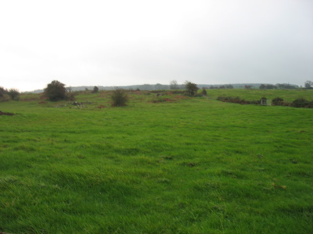
Lamb Bottom
A small stream rises here, high in the Mendip Hills, and flows past East Harptree into Chew Valley Lake.
 Map © Crown Copyright")
TIP: Click the map for more Large scale mapping
- Grid Square
- ST5454, 8 images (more nearby 🔍)
- Photographer
- David Purchase (more nearby)
- Date Taken
- Sunday, 23 October, 2011 (more nearby)
- Submitted
- Monday, 24 October, 2011
- Subject Location
-
OSGB36:
 ST 5453 5489 [10m precision]
WGS84: 51:17.4790N 2:39.2077W - Camera Location
-
OSGB36: ST 5423 5494
- View Direction
- EAST (about 90 degrees)