2011
NO6690 : Builg Road from Bridge of Bogendreip
taken 12 years ago, near to Strachan, Aberdeenshire, Scotland
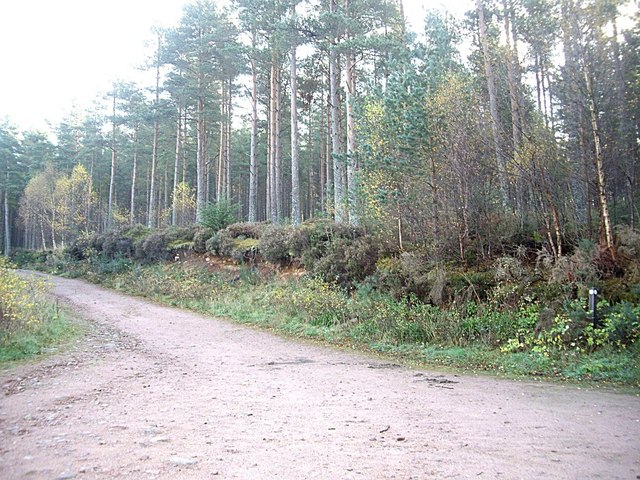
Builg Road from Bridge of Bogendreip
Off B974.
 Map © Crown Copyright")
TIP: Click the map for more Large scale mapping
- Grid Square
- NO6690, 16 images (more nearby 🔍)
- Photographer
- Stanley Howe (more nearby)
- Date Taken
- Thursday, 27 October, 2011 (more nearby)
- Submitted
- Thursday, 27 October, 2011
- Subject Location
-
OSGB36:
 NO 6629 9097 [10m precision]
WGS84: 57:0.5182N 2:33.3996W - Camera Location
-
OSGB36: NO 6625 9096
- View Direction
- East-northeast (about 67 degrees)