2011
SX8780 : Orange Way in Devon and Torbay (160)
taken 12 years ago, near to Chudleigh, Devon, England
Orange Way in Devon and Torbay (160)
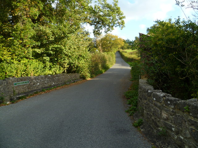
The Way carries on up Heathfieldlake Hill seen here from Bottle Bridge.
 Map © Crown Copyright")
TIP: Click the map for more Large scale mapping
- Grid Square
- SX8780, 30 images (more nearby 🔍)
- Photographer
- Shazz (more nearby)
- Date Taken
- Saturday, 22 October, 2011 (more nearby)
- Submitted
- Monday, 31 October, 2011
- Subject Location
-
OSGB36:
 SX 8707 8024 [10m precision]
WGS84: 50:36.6546N 3:35.8457W - Camera Location
-
OSGB36: SX 87033 80102
- View Direction
- North-northeast (about 22 degrees)