2005
SU6679 : Wheat on Farmland between Goring Heath and Cane End
taken 19 years ago, near to Cane End, Oxfordshire, England
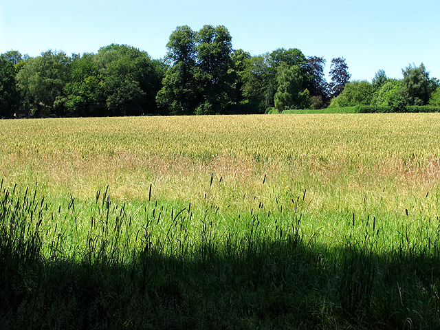
Wheat on Farmland between Goring Heath and Cane End
This square is a mixture of farmland and woodland, with a network of minor roads and footpaths within it. This farmland is west of the minor road in the north western section of the square.
 Map © Crown Copyright")
TIP: Click the map for more Large scale mapping
- Grid Square
- SU6679, 17 images (more nearby 🔍)
- Photographer
- Pam Brophy (more nearby)
- Date Taken
- Tuesday, 12 July, 2005 (more nearby)
- Submitted
- Wednesday, 13 July, 2005
- Subject Location
-
OSGB36:
 SU 66168 79754 [1m precision]
WGS84: 51:30.7708N 1:2.8733W