2006
SU2170 : Farmland and woodland above Minal
taken 17 years ago, near to Mildenhall, Wiltshire, England
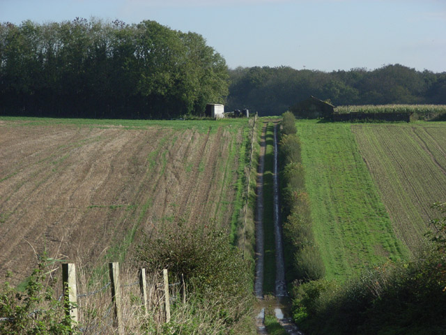
Farmland and woodland above Minal
Looking along the track to the south of Ashcroft Cottages, with Thicket Copse in the distance.
 Map © Crown Copyright")
TIP: Click the map for more Large scale mapping
- Grid Square
- SU2170, 7 images (more nearby 🔍)
- Photographer
- Andrew Smith (more nearby)
- Date Taken
- Tuesday, 24 October, 2006 (more nearby)
- Submitted
- Thursday, 26 October, 2006
- Subject Location
-
OSGB36:
 SU 212 705 [100m precision]
WGS84: 51:25.9865N 1:41.7855W - View Direction
- EAST (about 90 degrees)