2011
SU6878 : 'Decmar', Tinker's Green
taken 12 years ago, near to Tokers Green, Oxfordshire, England
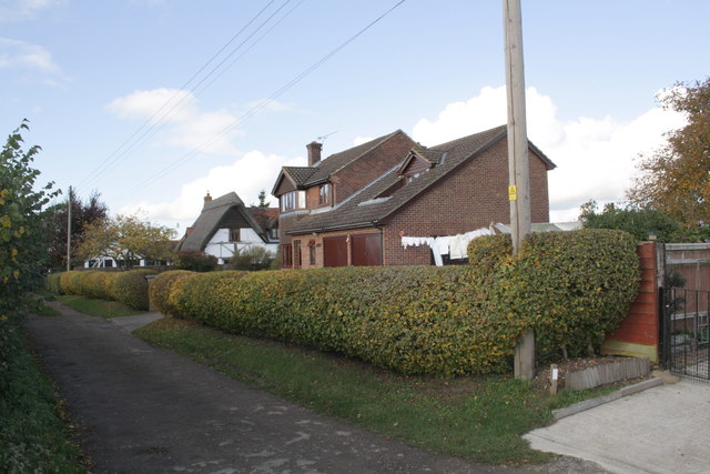
'Decmar', Tinker's Green
In 1973 the Ordnance Survey cut a benchmark on a wall where the present fence and hedge meet. The levelled height above Ordnance Datum Newlyn was 94.26m.
 Map © Crown Copyright")
TIP: Click the map for more Large scale mapping
- Grid Square
- SU6878, 26 images (more nearby 🔍)
- Photographer
- Roger Templeman (more nearby)
- Date Taken
- Tuesday, 1 November, 2011 (more nearby)
- Submitted
- Wednesday, 2 November, 2011
- Subject Location
-
OSGB36:
 SU 6886 7814 [10m precision]
WGS84: 51:29.8809N 1:0.5650W - Camera Location
-
OSGB36: SU 6886 7814
- View Direction
- West-northwest (about 292 degrees)