2011
NY2706 : In Mickleden
taken 12 years ago, near to Langdale Fell [other Features], Cumbria, Great Britain
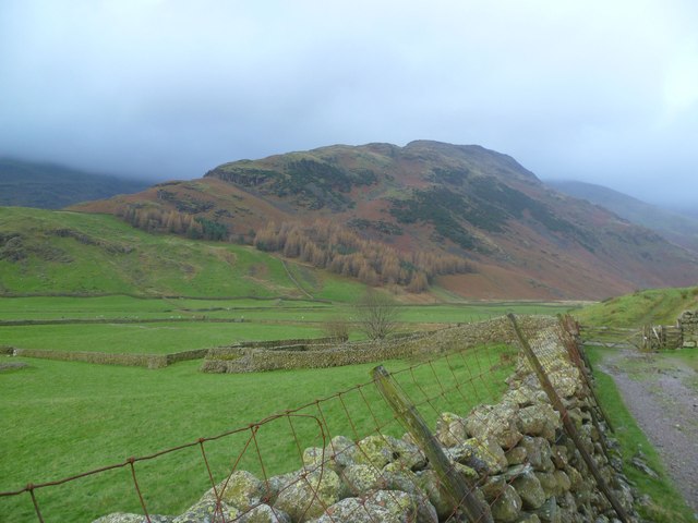
In Mickleden
Looking towards The Band and White Stones which carries the popular route up the mighty Bowfell.
 Map © Crown Copyright")
TIP: Click the map for more Large scale mapping
- Grid Square
- NY2706, 44 images (more nearby 🔍)
- Photographer
- Michael Graham (more nearby)
- Date Taken
- Saturday, 12 November, 2011 (more nearby)
- Submitted
- Sunday, 13 November, 2011
- Subject Location
-
OSGB36:
 NY 2713 0607 [10m precision]
WGS84: 54:26.6871N 3:7.5114W - Camera Location
-
OSGB36: NY 2772 0613
- View Direction
- WEST (about 270 degrees)