2003
SD5211 : Robin Hood Lane
taken 21 years ago, near to Appley Bridge, Lancashire, England
This is 1 of 3 images, with title Robin Hood Lane in this square
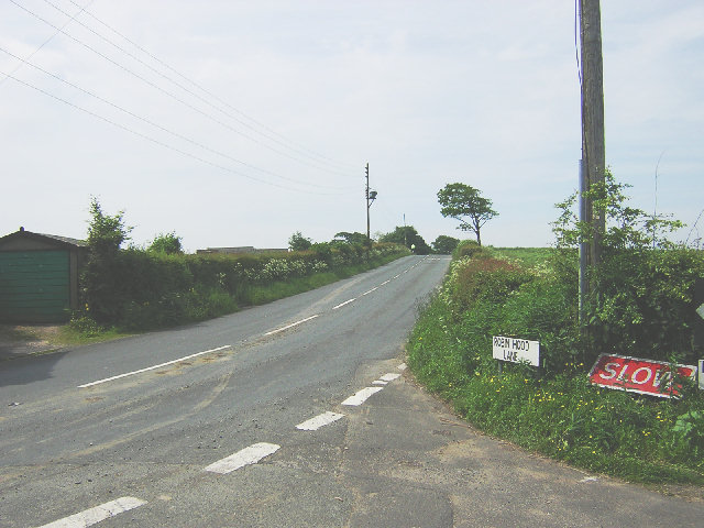
Robin Hood Lane
The Area's called Robin Hood, the farm's called Robin Hood and so is the lane. There was no-one around to ask why.
 Map © Crown Copyright")
TIP: Click the map for more Large scale mapping
- Grid Square
- SD5211, 17 images (more nearby 🔍)
- Photographer
- David Hignett (more nearby)
- Date Taken
- Sunday, 1 June, 2003 (more nearby)
- Submitted
- Wednesday, 13 July, 2005
- Subject Location
-
OSGB36:
 SD 520 115 [100m precision]
WGS84: 53:35.8715N 2:43.6053W