2011
NY1624 : High Swinside Farm
taken 12 years ago, near to High Lorton, Cumbria, England
This is 1 of 2 images, with title High Swinside Farm in this square
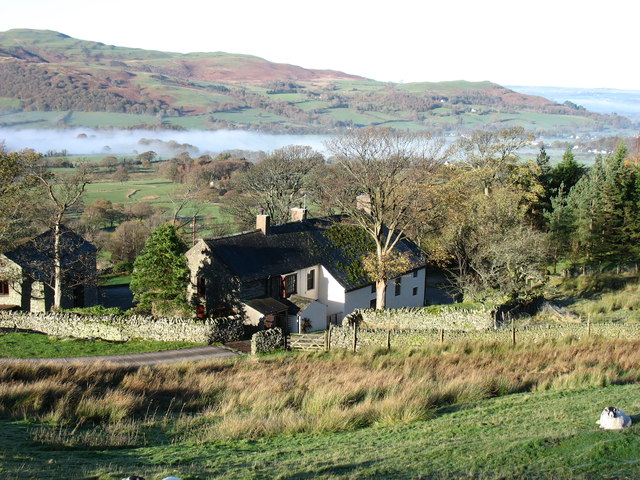
High Swinside Farm
Cloud still persists in Lorton Vale below.
 Map © Crown Copyright")
TIP: Click the map for more Large scale mapping
- Grid Square
- NY1624, 8 images (more nearby 🔍)
- Photographer
- David Purchase (more nearby)
- Date Taken
- Sunday, 6 November, 2011 (more nearby)
- Submitted
- Saturday, 19 November, 2011
- Subject Location
-
OSGB36:
 NY 1691 2459 [10m precision]
WGS84: 54:36.5766N 3:17.2784W - Camera Location
-
OSGB36: NY 1698 2459
- View Direction
- WEST (about 270 degrees)