2011
NN9952 : Tulliemet Burn
taken 13 years ago, near to Tulliemet, Perth And Kinross, Scotland
This is 1 of 2 images, with title Tulliemet Burn in this square
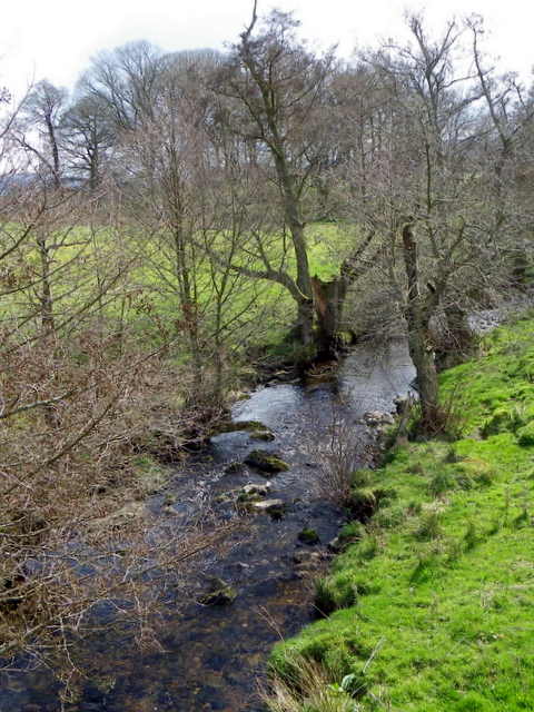
Tulliemet Burn
Looking downstream.
 Map © Crown Copyright")
TIP: Click the map for more Large scale mapping
- Grid Square
- NN9952, 22 images (more nearby 🔍)
- Photographer
- Maigheach-gheal (more nearby)
- Date Taken
- Tuesday, 12 April, 2011 (more nearby)
- Submitted
- Tuesday, 22 November, 2011
- Subject Location
-
OSGB36:
 NN 9989 5256 [10m precision]
WGS84: 56:39.2454N 3:38.0694W - Camera Location
-
OSGB36: NN 9989 5257
- View Direction
- South-southwest (about 202 degrees)