2011
TA1742 : Farmland near Little Hatfield
taken 12 years ago, near to Little Hatfield, East Riding of Yorkshire, England
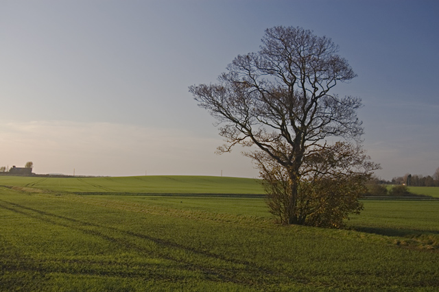
Farmland near Little Hatfield
Fields to the west of the part of the Trans Pennine Trail that follows the former Hull and Hornsea Railway, just to the south of the former Sigglesthorne Station.
 Map © Crown Copyright")
TIP: Click the map for more Large scale mapping
- Grid Square
- TA1742, 29 images (more nearby 🔍)
- Photographer
- Paul Harrop (more nearby)
- Date Taken
- Saturday, 19 November, 2011 (more nearby)
- Submitted
- Wednesday, 23 November, 2011
- Subject Location
-
OSGB36:
 TA 17847 42794 [1m precision]
WGS84: 53:52.0791N 0:12.5570W - Camera Location
-
OSGB36: TA 1786 4278
- View Direction
- West-northwest (about 292 degrees)