2006
NY8138 : Sheep's eye view of Burnhope Moor
taken 17 years ago, 4 km SW of Lanehead, County Durham, England
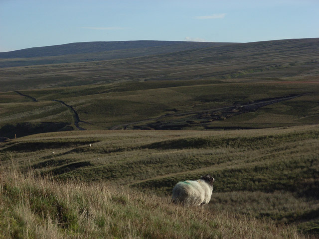
Sheep's eye view of Burnhope Moor
Below is the spur between Scraith Burn and Sally Grain which join forces to form Burnhope Burn.
 Map © Crown Copyright")
TIP: Click the map for more Large scale mapping
- Grid Square
- NY8138, 24 images (more nearby 🔍)
- Photographer
- Andrew Smith (more nearby)
- Date Taken
- Sunday, 29 October, 2006 (more nearby)
- Submitted
- Tuesday, 31 October, 2006
- Subject Location
-
OSGB36:
 NY 814 387 [100m precision]
WGS84: 54:44.5749N 2:17.4262W - Camera Location
-
OSGB36: NY 809 391
- View Direction
- Southeast (about 135 degrees)