2011
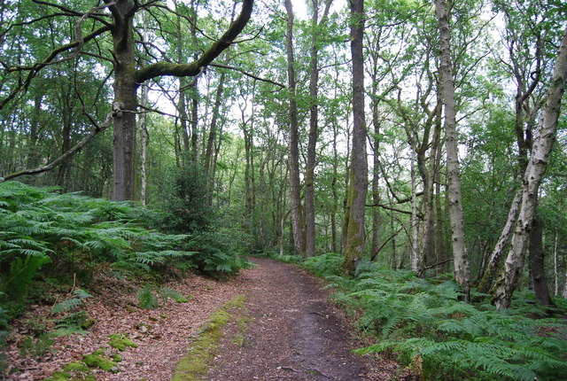
SU7926 : Sussex Border Path, Rake Hanger
taken 13 years ago, near to Rake, West Sussex, England
This is 1 of 3 images, with title Sussex Border Path, Rake Hanger in this square
Sussex Border Path, Rake Hanger
Rake Hanger :: SU7927
Rake Hanger is a wooded escarpment of Lower Greensand on the West Sussex - Hampshire border. 29 hectares of the Hanger is an SSSI, due to the abundance of Sessile Oaks.
Link
Sussex Border Path
The Sussex Border Path is a footpath route nearly 150 miles long around the inland boundary of the county of Sussex. The county owes its origins to the kingdom of the South Saxons and can claim to have one of the longest inland county boundaries from Emsworth to Rye. The route was devised in 1983 and is well signed along most of the route. Website Link
Map: Link
 Map © Crown Copyright")
TIP: Click the map for more Large scale mapping
- Grid Square
- SU7926, 35 images (more nearby 🔍)
- Photographer
- N Chadwick (more nearby)
- Date Taken
- Sunday, 10 July, 2011 (more nearby)
- Submitted
- Wednesday, 30 November, 2011
- Subject Location
-
OSGB36:
 SU 7975 2697 [10m precision]
WGS84: 51:2.1939N 0:51.8380W - Camera Location
-
OSGB36: SU 7973 2693
- View Direction
- North-northeast (about 22 degrees)