2011

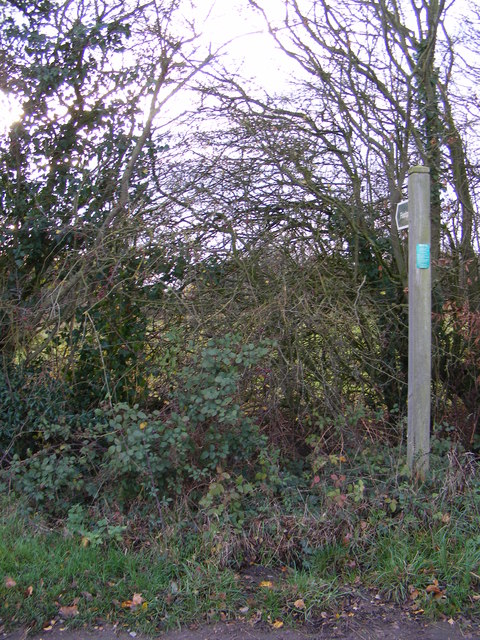
TM2379 : Footpath to Hoxne Road

taken 12 years ago, near to Weybread, Suffolk, England

This is 1 of 2 images, with title Footpath to Hoxne Road in this square
Footpath to Hoxne Road
Off WingField Road

Creative Commons Licence [Some Rights Reserved]   © Copyright Geographer and licensed for reuse under this Creative Commons Licence.
Geographical Context: Paths Off: Wingfield Road Near: Weybread Primary Subject: Path other tags: Hoxne Road Footpath Click a tag, to view other nearby images.
This photo is linked from: Automatic Clusters: · Wingfield Road [8] · Footpath [7] · Footpath to Hoxne Road [2] Title Clusters: · Footpath to Hoxne Road [2] ·
1:50,000 Modern Day Landranger(TM) Map © Crown Copyright
+
1:50,000 Modern Day Landranger(TM) Map © Crown Copyright
TIP: Click the map for more Large scale mapping
Grid Square
TM2379, 22 images   (more nearby 🔍)
Photographer
Geographer   (more nearby)
Date Taken
Monday, 28 November, 2011   (more nearby)
Submitted
Saturday, 3 December, 2011
Subject Location
OSGB36: geotagged! TM 2327 7932 [10m precision]
WGS84: 52:21.9849N 1:16.6825E
Camera Location
OSGB36: geotagged! TM 2327 7932
View Direction
West-southwest (about 247 degrees)
Clickable map
+
NW N NE
W Go E
SW S SE
Image classification(about): Supplemental image
This page has been viewed about 30 times
You are not logged in login | register