2011
TL5755 : A11 southbound
taken 13 years ago, near to Six Mile Bottom, Cambridgeshire, England
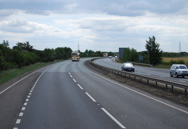
A11 southbound
The A11 is a major road in Eastern England. It runs roughly north east for 111 miles from London to Norwich, With the M11 opening in the 1970s and then the A12 extension in 1999, a lengthy section has been downgraded between the suburbs of east London and the north-west corner of the county of Essex. It also overlaps with the A14 on the Newmarket bypass.
Link
See other images of A11 Road
Link
See other images of A11 Road
 Map © Crown Copyright")
TIP: Click the map for more Large scale mapping
- Grid Square
- TL5755, 17 images (more nearby 🔍)
- Photographer
- N Chadwick (more nearby)
- Date Taken
- Friday, 1 July, 2011 (more nearby)
- Submitted
- Sunday, 4 December, 2011
- Subject Location
-
OSGB36:
 TL 5704 5587 [10m precision]
WGS84: 52:10.7241N 0:17.7211E - Camera Location
-
OSGB36: TL 5709 5595
- View Direction
- South-southwest (about 202 degrees)