2011
TL5853 : Oil seed rape field
taken 13 years ago, near to West Wratting, Cambridgeshire, England
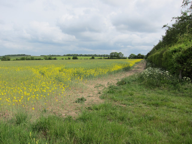
Oil seed rape field
The flowers are on the wane. By Weston Quick Belt.
 Map © Crown Copyright")
TIP: Click the map for more Large scale mapping
- Grid Square
- TL5853, 13 images (more nearby 🔍)
- Photographer
- Hugh Venables (more nearby)
- Date Taken
- Sunday, 15 May, 2011 (more nearby)
- Submitted
- Monday, 5 December, 2011
- Subject Location
-
OSGB36:
 TL 5872 5389 [10m precision]
WGS84: 52:9.6281N 0:19.1386E - Camera Location
-
OSGB36: TL 5869 5385
- View Direction
- North-northeast (about 22 degrees)