2006
SU7676 : Farmland, Charvil
taken 17 years ago, near to Sonning, Wokingham, England
This is 1 of 3 images, with title Farmland, Charvil in this square
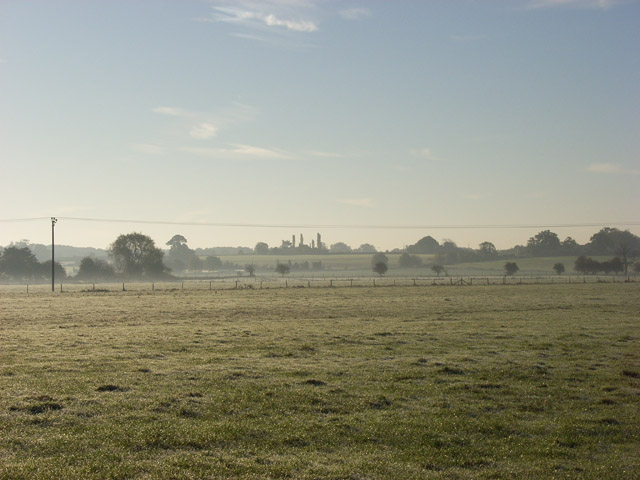
Farmland, Charvil
Looking south from the Thames. The tall trees on the skyline are on the B478 (Charvil Lane, Sonning).
 Map © Crown Copyright")
TIP: Click the map for more Large scale mapping
- Grid Square
- SU7676, 77 images (more nearby 🔍)
- Photographer
- Andrew Smith (more nearby)
- Date Taken
- Friday, 3 November, 2006 (more nearby)
- Submitted
- Saturday, 4 November, 2006
- Subject Location
-
OSGB36:
 SU 763 767 [100m precision]
WGS84: 51:29.0470N 0:54.1541W - View Direction
- SOUTH (about 180 degrees)