2011
SE1710 : Field path, near Thurstonland
taken 12 years ago, near to Thurstonland, Kirklees, England
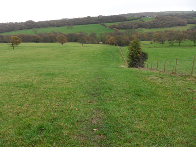
Field path, near Thurstonland
Looking down field-edge path back towards Shepley. Mathewman Wood is in the distance.
 Map © Crown Copyright")
TIP: Click the map for more Large scale mapping
- Grid Square
- SE1710, 33 images (more nearby 🔍)
- Photographer
- Samantha Waddington (more nearby)
- Date Taken
- Saturday, 26 November, 2011 (more nearby)
- Submitted
- Monday, 26 December, 2011
- Subject Location
-
OSGB36:
 SE 1767 1031 [10m precision]
WGS84: 53:35.3447N 1:44.0721W - Camera Location
-
OSGB36: SE 1767 1031
- View Direction
- South-southeast (about 157 degrees)