2006
SU2553 : Farmland, Collingbourne Ducis
taken 17 years ago, near to Collingbourne Ducis, Wiltshire, England
This is 1 of 2 images, with title Farmland, Collingbourne Ducis in this square
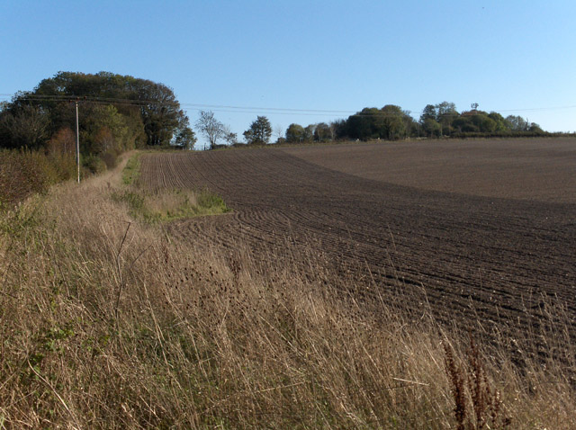
Farmland, Collingbourne Ducis
Beside Mill Lane, looking up to Knoll Plantation.
 Map © Crown Copyright")
TIP: Click the map for more Large scale mapping
- Grid Square
- SU2553, 16 images (more nearby 🔍)
- Photographer
- Andrew Smith (more nearby)
- Date Taken
- Saturday, 4 November, 2006 (more nearby)
- Submitted
- Tuesday, 7 November, 2006
- Subject Location
-
OSGB36:
 SU 250 534 [100m precision]
WGS84: 51:16.7520N 1:38.5775W - View Direction
- Southwest (about 225 degrees)