2006
SX9370 : Coast south of Labrador Bay
taken 17 years ago, near to Stokeinteignhead, Devon, England
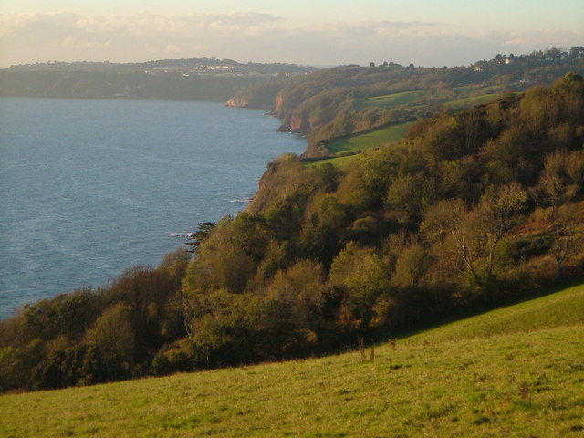
Coast south of Labrador Bay
Continuous ups and downs make this a beautiful but strenuous section of the South west coast path. Seen from below the car park on the A379. Babbacombe is in the distance.
 Map © Crown Copyright")
TIP: Click the map for more Large scale mapping
- Grid Square
- SX9370, 174 images (more nearby 🔍)
- Photographer
- Derek Harper (more nearby)
- Date Taken
- Friday, 3 November, 2006 (more nearby)
- Submitted
- Wednesday, 8 November, 2006
- Subject Location
-
OSGB36:
 SX 931 701 [100m precision]
WGS84: 50:31.2534N 3:30.5593W - Camera Location
-
OSGB36: SX 932 704
- View Direction
- SOUTH (about 180 degrees)