2006
TL9335 : Arger Fen
taken 17 years ago, near to Dorking Tye, Suffolk, England
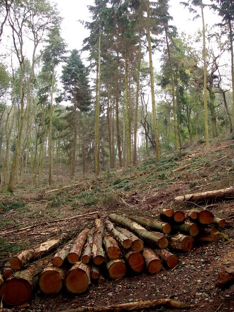
Arger Fen
Native woodland in the process of restoration by Suffolk County Council.
 Map © Crown Copyright")
TIP: Click the map for more Large scale mapping
- Grid Square
- TL9335, 16 images (more nearby 🔍)
- Photographer
- Simon Leatherdale (more nearby)
- Date Taken
- Wednesday, 8 November, 2006 (more nearby)
- Submitted
- Wednesday, 8 November, 2006
- Subject Location
-
OSGB36:
 TL 932 353 [100m precision]
WGS84: 51:58.9534N 0:48.7163E - Camera Location
-
OSGB36: TL 932 353
- View Direction
- Southeast (about 135 degrees)