2012
NT0124 : Track up the glen of the Grains Burn
taken 12 years ago, near to Grains Burn [water Feature], South Lanarkshire, Great Britain
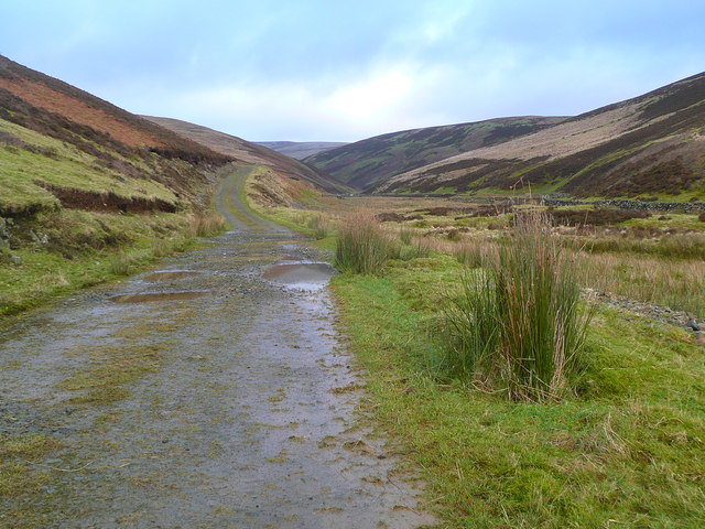
Track up the glen of the Grains Burn
 Map © Crown Copyright")
TIP: Click the map for more Large scale mapping
- Grid Square
- NT0124, 8 images (more nearby 🔍)
- Photographer
- Gordon Brown (more nearby)
- Date Taken
- Saturday, 7 January, 2012 (more nearby)
- Submitted
- Saturday, 7 January, 2012
- Subject Location
-
OSGB36:
 NT 0144 2414 [10m precision]
WGS84: 55:30.0638N 3:33.7104W - Camera Location
-
OSGB36: NT 01406 24061
- View Direction
- North-northeast (about 22 degrees)